Carsharing time-lapse – Berlin on a World Cup matchday

Last year we released our project ‘one week of carsharing’ for which we analyzed and visualized car2go usage in 19 cities worldwide. Unfortunately we had to take the project offline soon after the release due to a disagreement with Daimler (car2go’s parent company) on our data collection method. As a consequence we thought about a way to present our project without harming Daimler’s interests: simply by showing what we did and how the results look like – this time not with real data but with a synthetic data set for an imaginary city.

In the following weeks and months we got in contact with a lot more people working on carsharing analytics and visualizations from different perspectives (academics, transportation, journalism). One of them was civity management consultants, one of the leading consultancy firms for public services in Europe. They had their own data sets on carsharing usage and asked us to do some cartographic visualizations for them. Their most recent (german) publication is an in-depth analysis of the impact and relevance of ‘free floating carsharing’ – both economically as well as traffic wise.

As a part of our collaboration we had the pleasure to produce a 24h time-lapse video of carsharing activity in Berlin during the day of the World Cup 2014 match Brazil vs. Germany. Take a look at how Berlin is almost standing still during the match (22:00 – 23:45) and how it comes back alive immediately after the victory of the German team. 


The video was produced in Processing and Unfolding with a custom basemap rendered in Tilemill. It was inspired by the project “Seven days of carsharing” by DensityDesign and their Milano time-lapse video. Since it was the first time we worked with Processing and Java code, the release of the visualization’s source code by DensityDesign’s Daniele Ciminieri on github was a huge help for us (Thanks a lot Daniele!).
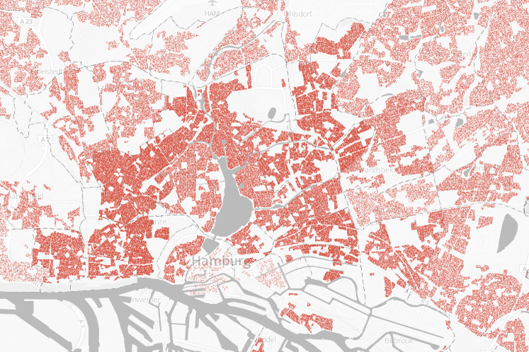
Basemap data:

nonvoters 2013

We’ve received a lot of (mostly positive) feedback for our last project “Atlas der Nichtwähler / The Geography of Nonvoters” which visualized the spatial distribution of nonvoters for the German federal election in 2009.

One weakness of the presentation was the lack of information about the relative number of nonvoters for each voting district. Basically, by mapping every nonvoter we produced a map which looks almost the same as a visualization of the current population density.

As a consequence we’ve decided to vary the style of our map for the results of the 2013 election by additionally displaying the percentage of nonvoters for each district by diverging colors.

The results are quite interesting: More than two decades after the reunification there is still a significant gap between voters in the eastern and western parts of Germany. Especially rural parts of eastern Germany have a considerably low turnout. This is sad but in no way surprising given their demographic, economic and social situation. The refusal to cast a vote is directly connected to factors like wealth and education. The suburban regions around cities like Berlin, Hamburg or Munich therefore show higher turnouts.

Interesting and somehow surprising is the fact that some counties in Bavaria had quite low turnouts as well. Maybe voters were overly convinced that the CSU-party (who received over 50 % of the votes in Bavaria) would win anyway.


new project: the geography of nonvoters

The German election campaign steps into it’s final phase. On September 22th the Germans will elect their new Parliament.

During the weeks before the election maps, graphics and data visualizations are probably more widespread in the media than at any other time. Consequently there’s a peak in the demand for data driven journalism every four years. We want to contribute to the coverage and therefor release a map that focuses on one single aspect: the nonvoters of the last federal election.

The basic idea behind our map is to raise awareness to the number on nonvoters by visualizing turnouts for certain areas in another way than by the ordinary choropleth map. Our focus is not on the percentage of nonvoters but on the sum and spatial distribution of individual persons that did not vote.

That’s why we chose to use a dot density map, displaying one point for every ten nonvoters during the 2009 election. For our home state Hamburg we were able to get more detailed data and realized a second version with higher zoom levels, displaying one point for every single nonvoter. Of course the points do not represent real persons and their home address. Moreover, the exact location of every point was determined by a random distribution of all nonvoters in each district. For a closer & interactive look at our maps, as well as on how we realized them, take a look at our project page.